The Drones Intend to Improve Apple Maps Data

Launched in 2012, Apple Maps app was no less than a disaster for the company. But they now aim to catch Google Maps.
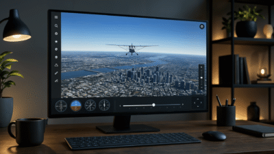
Like their predecessors, Apple Maps app first collected street views with the help of some third parties. They then hired their own data collection team, driving vans and taking images of the streets with camera sensors. And now, they are moving to the next level – the use of drones.
Drones, as claimed by Apple Inc., can collect the same data with less time, effort, and expenses. They require less manpower as compared to the vans. They can also fly around and can collect data from places where vans are unable to go.
News on: Apple and Game of Thrones
To start using these flying robots, Apple needed an approval from the Federal Aviation Administration (FAA). FAA approved their application earlier this year, however, with some limitations:
- These drones will not exceed the speed of 87 knots;
- They will not fly over 400 feet of height;
- A distance of 500 feet should be kept from people, vehicles, vessels, and structures;
- Only a licensed UAV pilot will control these drones;
- These drones will only be flown during the daylight.
Although, it’s hoped to see Apple drones up in the air in the coming year, there is a possible threat to the privacy of individuals. Experts claimed that this new cartography could become a spy surveillance over the citizens, which perhaps might not be liked by many.
News on: Spy Cam by PogoCam
In addition to the flying drones, Apple will soon be introducing at least two new features – indoor navigation and smart lane change guidance. Indoor navigation will show navigational results of high-traffic buildings like airports, museums, malls, and parks. This indoor navigating feature can be used just like a street navigation. This feature would use a combination of WiFi, Bluetooth, pressure sensors, and GPS.
The second feature will be a better guidance to the drivers while changing lanes to make a turn or take an exit.
With these features and the intro to drone fleet, it appears as if Apple is taking their share of from Google. They intend to reduce the number of downloads of Google Maps over iPhones and replace it with their own Apple Maps app.
Image by: Wikipedia
More from Apple
Playstation Vue’s now on Apple TV
VirnetX versus Apple; who won?
New features in iOS 10 make iPhone even better
Digital marketing enthusiast and industry professional in Digital technologies, Technology News, Mobile phones, software, gadgets with vast experience in the tech industry, I have a keen interest in technology, News breaking.


